
Raise the contour until the two summits separate
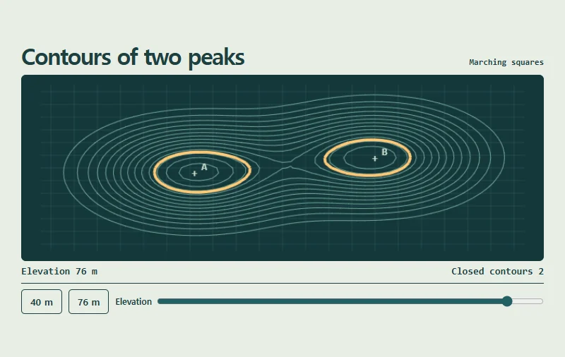
Interpolate where a chosen height crosses the edges of a sampled grid and join those points. On this terrain one loop surrounds both peaks at 40 m. Two separate loops remain at 76 m.
 Try the motion
When to use it
Show how a topographic or weather map derives boundaries from sampled measurements.
How the motion works
The range is 32–80 m. The terrain stays fixed while the selected contour is highlighted.
How to use it
- iOS · Android
- Drag the elevation slider or tap the 40 m and 76 m buttons.
- PC
- Tab to the elevation slider and use the arrow keys for one-metre steps.
Example files and implementation notes
Choose a device in the demo and save the motion to your collection to download the working HTML and implementation notes as a ZIP.